Mineral inventory
The interactive map shows in two separate layers mineral occurrences and mine locations with basic attributes throughout the European Union (partial coverage of 21 EU Member States). To view the mineral occurrences and/or the mining sites for a specific raw material and EU country, please click on the “Minerals Inventory” to see the sub-layers “Mineral Occurrences” and “Mines”.
The layer “Mineral Occurrences” shows the location of individual or several minerals potentially suited for raw material extraction. They are shown per raw material (commodity) and classified according to the importance of the deposit.
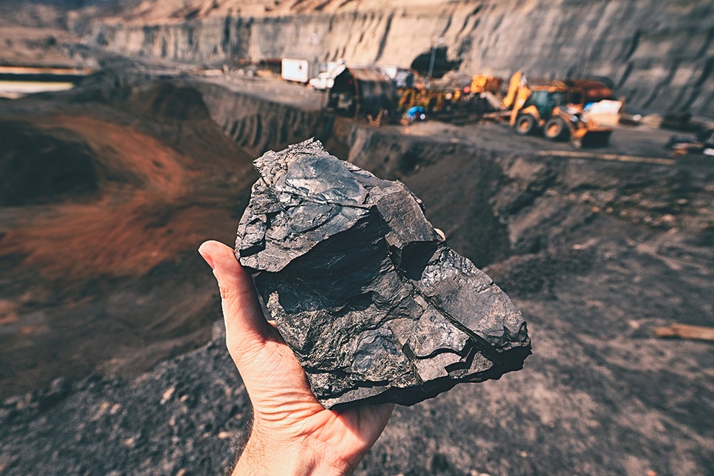
The layer “Mines” shows mining sites of any operational status (operating, under development, or not operating). The data differentiates the various mining activities, like underground mining, open pit mining etc.
The map is an adapted version of EuroGeoSurveys’ European Geological Data Infrastructure (EGDI) Mineral Resources dataset developed by GeoERA project Mineral Intelligence for Europe (Mintell4EU).
The geographical coverage is expanding over time. The current version (status 3.8.2021) covers all EU member states except Bulgaria, Estonia, Latvia, Lithuania, Luxembourg, Malta. Commodity names, and symbols (colour, shape) are following the INSPIRE regulations. Note that for clarity the mines are shown in an aggregated view: Individual mines can be shown by zooming in at the map.

